Elevation is commonly used by insurers to determine a property’s height in relation to sea level or floodplains to assess the need for flood insurance. Elevation tools can also be used to determine the slope and aspect of an area.
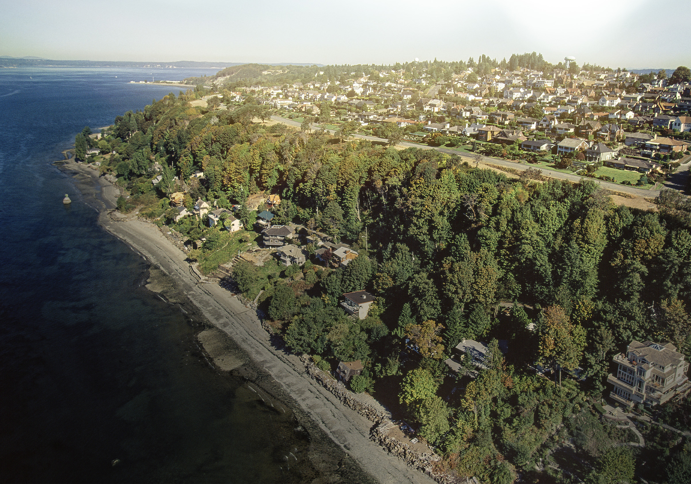
Many insurers are wary of risks built on steep slopes for a variety of reasons, such as generally higher rebuilding costs and an increased risk of landslides and erosion. Structures built near brush can also be more susceptible to wildfire because fire travels uphill. In addition, these types of locations can present a challenge for fire or emergency personnel trying to gain access during an earthquake, fire or other emergency situation.
Related:
SlopeScout®: An Easier Way to Determine Slope
The aspect (direction the land faces) of a slope can also make a significant impact in the potential for insurance losses. Southern facing slopes are subject to more direct sunlight and stronger winds, resulting in higher temperatures and lower humidity. This produces dryer soil and vegetation which can lead to an increased risk of soil erosion, landslide and quick-starting, faster-spreading fires.
The views and secluded nature provided by developments on steep slopes make these properties highly desirable. Homeowners and developers choose to build on these lands without necessarily realizing the potential impact it may have on insurance rates and losses.
The BuildingMetrix® SlopeScout provides a quick and easy way to obtain the elevation and to calculate the slope surrounding any building without having to go to multiple sources to get the information you need. For more information on how SlopeScout (Patent Pending) can help you with your underwriting needs, contact us.