Go to WSRB
Go to BuildingMetrix
CREATE AN ACCOUNT
LOG IN

About the Company

Who we are and how we serve insurers, agents, and Washington state residents.  

CEO Perspective

Engaging thought leadership on key insurance industry issues from our CEO. 

Meet the Team

Get to know the team behind WSRB’s trusted data and excellent customer service. 

Careers

Learn about the benefits of working at WSRB and apply for open positions.  

Underwriting Property

A guide to key risks in Washington state: fire, wildfire, and earthquakes.


Video Hub

Expert webinars, timely discussions, and in-depth conversations with industry leaders.. 

Commercial Property

Information on loss costs, policy rating, and assessment tools 


Industry Toolkit

Links to help you work smarter and serve your customers.  

Protection Classes

The evaluation process explained from start to finish.


WSRB Blog

News on emerging risks as well as our latest products. 

Library

In-depth content on essential insurance topics.


InsuranceEDGE

Weekly newsletter covering the P/C industry, curated by our experts. 


Past Wildfires and Today’s Risk

Zhu Zhu Xiao
June 16, 2020

In our new Wildfire Risk Tool, you’ll find three valuable data points for every address in Washington state. One is called Distance from Historic Wildfire Perimeter, and it tells you whether a wildfire has occurred within one mile of your search location and, if so, the years those wildfires burned.

In this post, we build on past posts that have told you why that matters and provide you with visuals to illustrate its importance.

The data on repeat wildfires visualized

Certain parts of the Western U.S. are not just prone to wildfire; they experience it frequently. Research shows that some areas burn, on average, every seven years,1 and other research indicates the buildup of vegetation drives these repeat wildfires.2

We included data on historic wildfire perimeters in our tool because of these findings and because — in conjunction with the other data points in the tool — it can help you:

  • Identify customers who most need to take risk-mitigation steps.
  • Educate and motivate those customers to protect their homes.

The idea of repeat wildfires is clear enough, but it can also seem abstract — that is until you see the data mapped. Let’s explore historic wildfire perimeters for some of the Washington state communities most at risk of wildfire exposure, as identified by the Washington State Department of Natural Resources (DNR).3 After a tour through the following three maps, we think you’ll have a better understanding of the importance of historic wildfire perimeters.

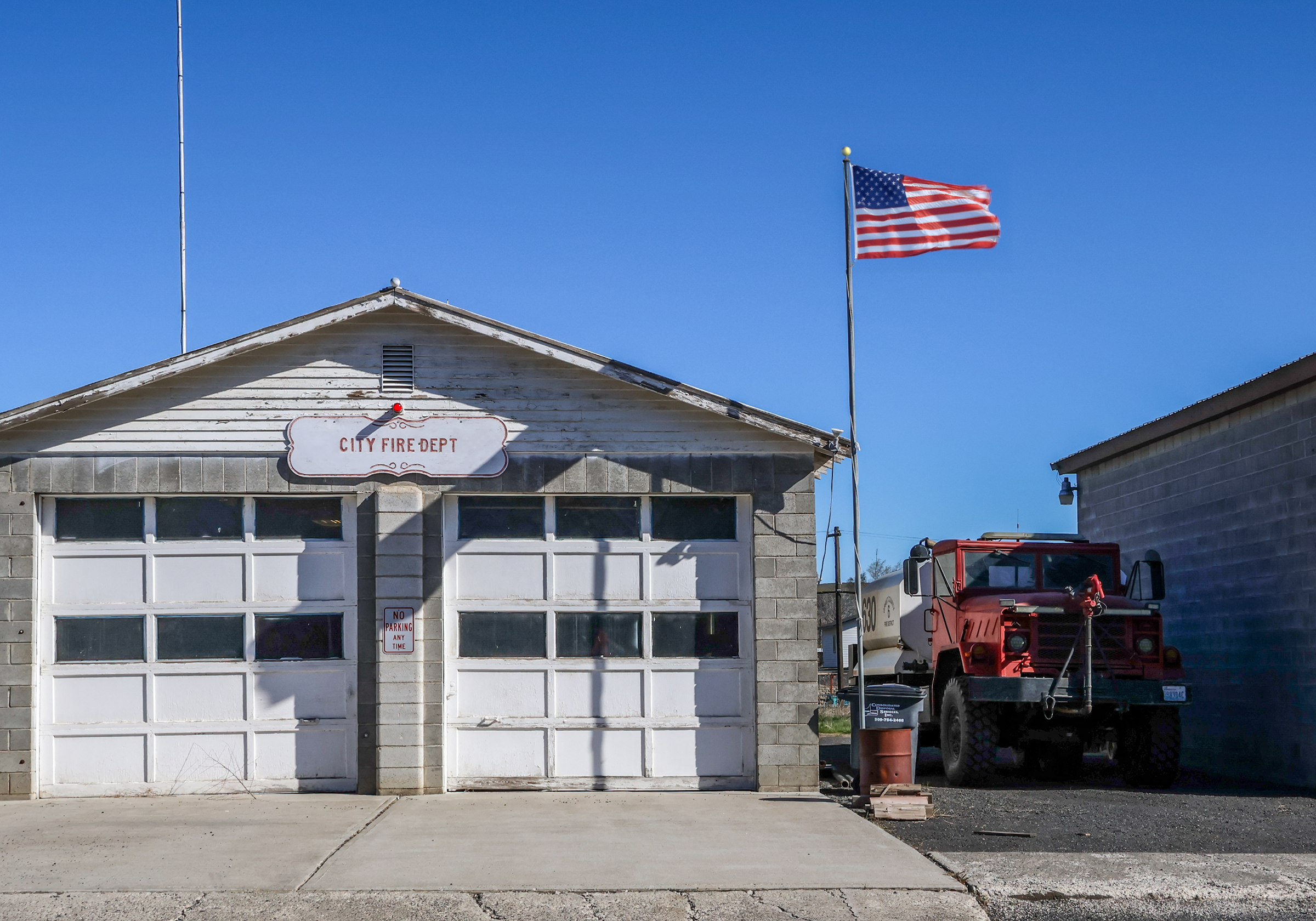
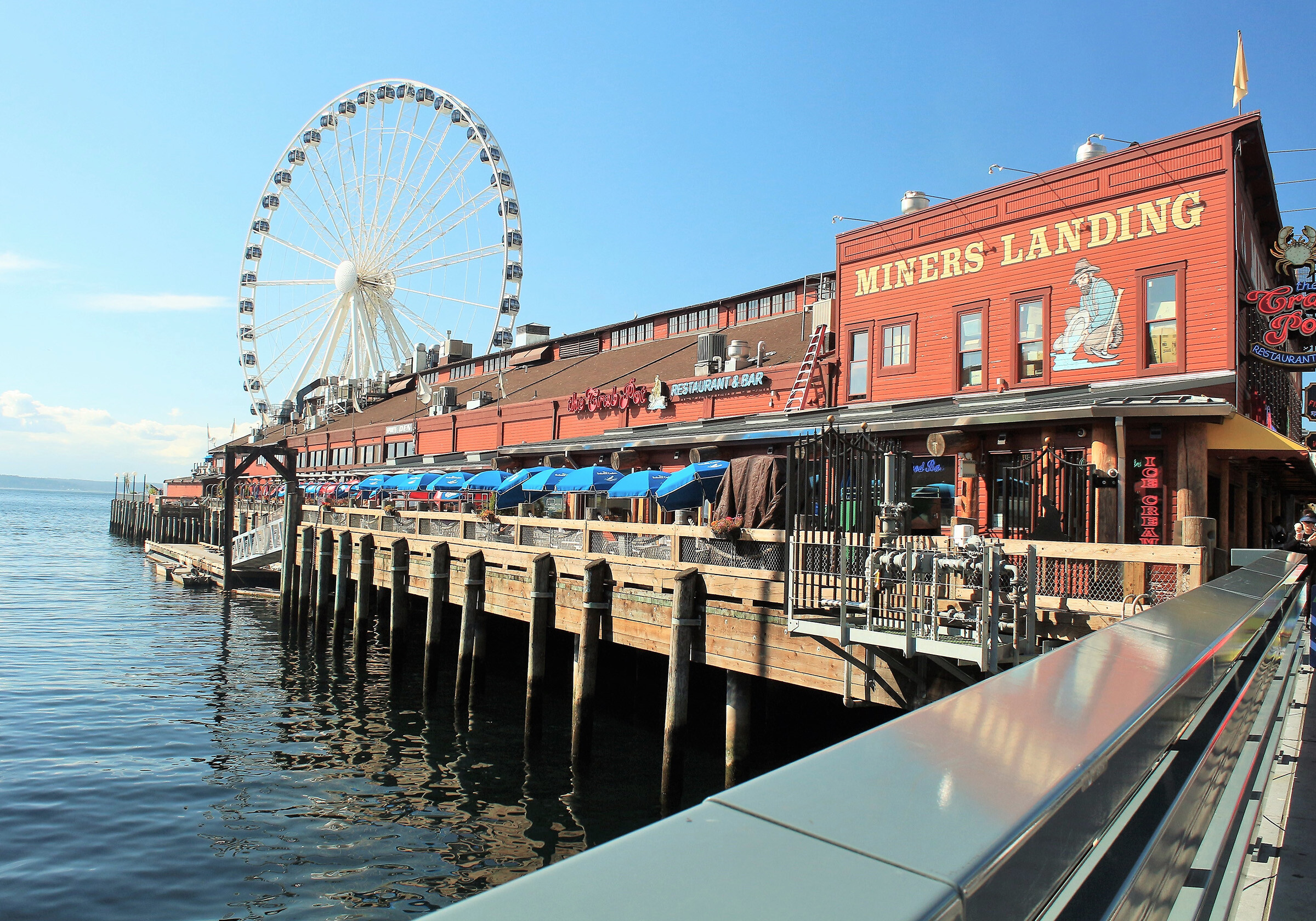
leavenworth cashmere twisp 1Leavenworth, Cashmere, and Twisp are three communities at significant fire risk.


Related:
Some Parts of the West are Burning Again and Again


Leavenworth

Leavenworth is number one on the DNR’s list of the top 25 places most likely to be exposed to wildland fire in Washington state. First, let’s look at the map, and then we’ll tell you about each element.

0leavenworthA map of all address points in Leavenworth and their proximity to a
historic wildfire perimeter.

This map shows you:

  • Areas burned by past wildfires. These are shaded in orange, ranging from light to dark, and labeled with a year. The darker the shading, the more recent the wildfire.
  • Address points within one mile of a wildfire that burned between 1990 and 2020, as shown by blue dots. An address point is the confirmed location of a structure, and that structure could be residential or commercial. (WSRB maintains a database of more than 2.5 million address points, which we update monthly.)
  • Address points farther than one mile from a historic wildfire perimeter, shown by pink dots.

As you can see, a large share of properties in Leavenworth are near a wildfire that’s burned within the last 30 years, and those fires have burned on both sides of the town.

This map shows all the address points in Leavenworth, not those covered by any one insurer. Each insurer’s book of business is proprietary and unique. But, we can easily imagine a hypothetical insurer that covers 10% of the properties in town, chosen at random. What would that map look like? Take a look.

1leavenworthA map of Leavenworth’s address points, their proximity to historic wildfire perimeters and a
hypothetical insurance carrier’s book of business.

Cashmere

Although Cashmere is just 12 miles southeast of Leavenworth, it has seen a different pattern of past wildfires. The town is ninth on the DNR’s list.

1cashmereCashmere’s address points and their proximity to historic wildfire perimeters.

Here is a look at the same map of properties covered by our hypothetical insurer, with a randomly selected 10% of the address points changed to black.

2cashmereCashmere’s properties, with 10% randomly shaded black to
depict one hypothetical insurer’s book of business.


Related:
Help Your Customers Prepare for Wildfire Season with Our New Tool


Twisp

Ranking eleventh on the DNR’s list is Twisp, which is about 100 miles north of Leavenworth and Cashmere and just south of Winthrop, number 17 on the DNR’s list. Again, we see a distinct pattern of past wildfires. In 2014, the area east of town burned, and in 2015, the area west of town did. In previous years, smaller fires occurred around Twisp.

1twispMany properties in Twisp are within one mile of a historic wildfire perimeter

Here’s the map belonging to our hypothetical insurer covering 10% of the properties in town, chosen at random.

2twispA significant number of a 10% random selection of Twisp properties are within
one mile of a past wildfire.

What do you think of these maps? Would you like to see these maps customized with data from your book of business? If so, contact our sales team by clicking here.

More wildfire content

More geospatial content


[1] Idaho State University, http://giscenter.isu.edu/research/Techpg/nasa_RECOVER/pdf/GeographyWildfires.pdf

[2] IOPScience, https://iopscience.iop.org/article/10.1088/1748-9326/ab6c70/pdf

[3] Washington State Department of Natural Resources, https://www.dnr.wa.gov/publications/rp_wildfire_strategic_plan.pdf?lmvb8d

Zhu Zhu Xiao is a Geographic Information Systems (GIS) Analyst on WSRB’s Technology Solutions team. She discovered GIS when she took a college class to fulfill a requirement and has loved GIS ever since because it shows her patterns that are far harder to find in tabular data. She’s worked at WSRB for seven years and is always interested in learning more about everything from behavioral economics to aviation.

Guy-reading-insuranceEDGE

InsuranceEDGE

Like our blog? Check out InsuranceEDGE. We curate the week’s must-read stories from top industry sources. You stay informed and save time.

SIGN UP TODAY!

You May Also Like

These stories on GIS mapping

blog listing blog sign up

Sign up for our blog