About the Company
Who we are and how we serve insurers, agents, and Washington state residents.
CEO Perspective
Engaging thought leadership on key insurance industry issues from our CEO.
Meet the Team
Get to know the team behind WSRB’s trusted data and excellent customer service.
Careers
Learn about the benefits of working at WSRB and apply for open positions.
Underwriting Property
A guide to key risks in Washington state: fire and earthquakes.
Video Hub
Expert webinars, timely discussions, and in-depth conversations with industry leaders..
Commercial Property
Information on loss costs, policy rating, and assessment tools.
Industry Toolkit
Links to help you work smarter and serve your customers.
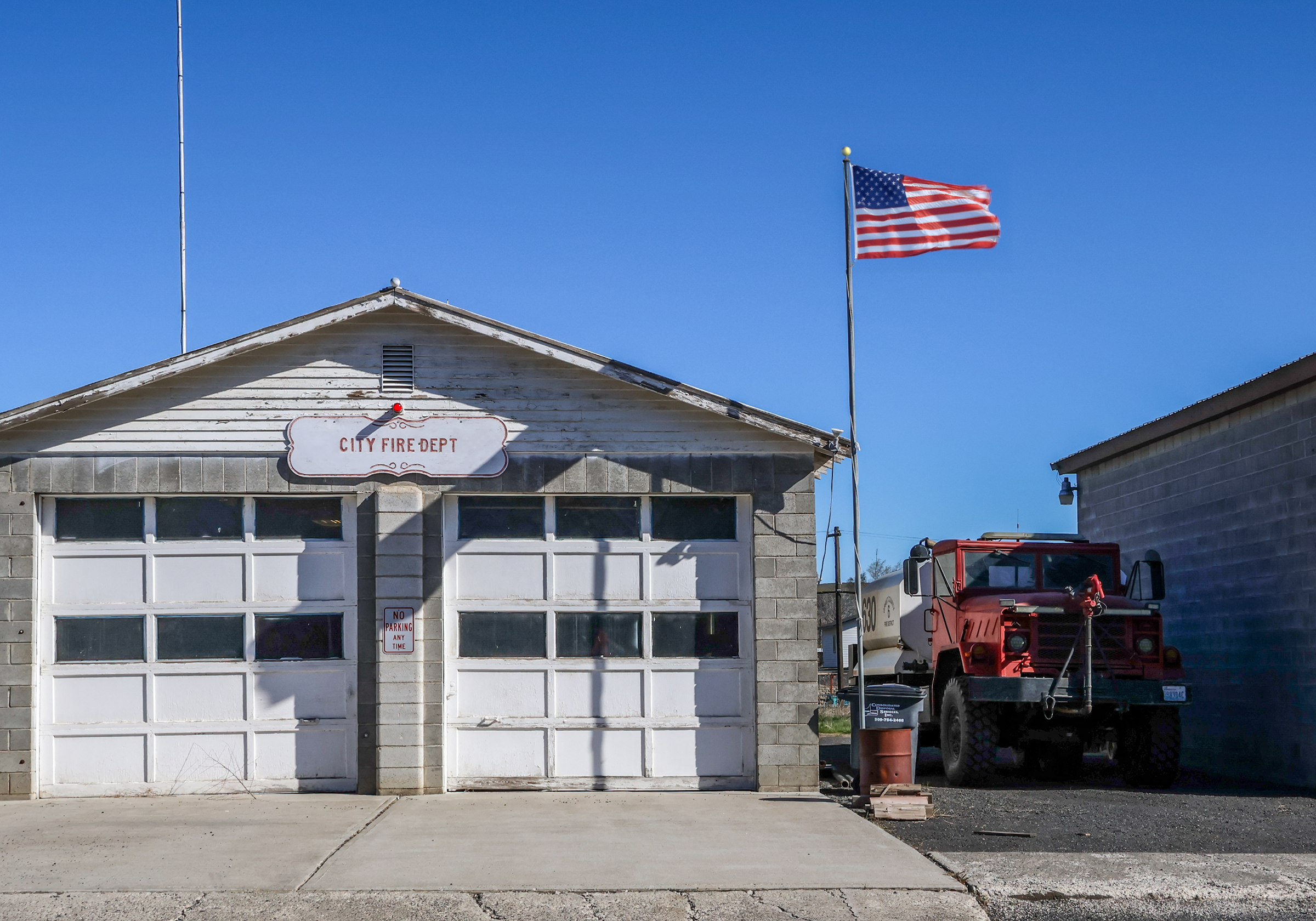
Protection Classes
The evaluation process explained from start to finish.
WSRB Blog
News on emerging risks as well as our latest products.
Library
In-depth content on essential insurance topics.
InsuranceEDGE
Weekly newsletter covering the P/C industry, curated by our experts.
About the Company
Who we are and how we serve insurers, agents, and Washington state residents.
CEO Perspective
Engaging thought leadership on key insurance industry issues from our CEO.
Meet the Team
Get to know the team behind WSRB’s trusted data and excellent customer service.
Careers
Learn about the benefits of working at WSRB and apply for open positions.
Underwriting Property
A guide to key risks in Washington state: fire, wildfire, and earthquakes.
Video Hub
Expert webinars, timely discussions, and in-depth conversations with industry leaders..
Commercial Property
Information on loss costs, policy rating, and assessment tools.
Industry Toolkit
Links to help you work smarter and serve your customers.
Protection Classes
The evaluation process explained from start to finish.
WSRB Blog
News on emerging risks as well as our latest products.
Library
In-depth content on essential insurance topics.
InsuranceEDGE
Weekly newsletter covering the P/C industry, curated by our experts.